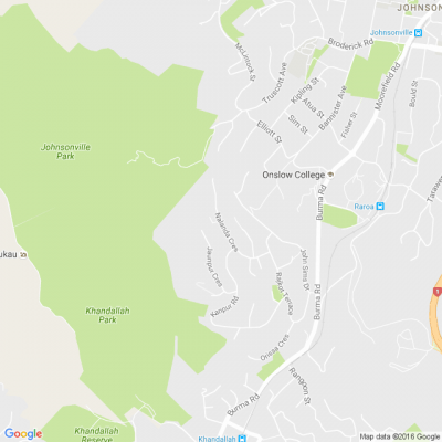
Resident Question - DMAPS Flight Path
✈️ We've received a question from a resident under the DMAPS flight path who used Flightradar and Webtrak to challenge the altitude data in Wellington Airport's consultation documents.
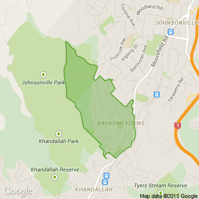
We can confirm (📸 see the pic in the comments) that flights have been recorded at altitudes below 3,000 feet over Khandallah and below 4,000 feet over Johnsonville.
The terrain in these areas varies significantly: 🌳 Khandallah is 880 feet, 🌄 Broadmeadows is 984 feet, 🏘️ Johnsonville is 495 feet, 🏞️ Horokiwi is 820 feet, 🌊 Korokoro is 135 feet, and 🏡 Newlands is 453 feet.
So, while the document doesn’t explicitly state it, flights are flying low and close to the suburbs under the current DMAPS flight path. 🌍 Sea level comparisons aren’t an accurate representation because the topography of our Wellington suburbs varies! 🌿
Find out more at planesensewellington.com

Poll: Is it ok to regift something that you have been given?
🎁 Holiday Gift Chat!
Do you ever regift?
What’s your take on asking for a receipt if a gift doesn’t fit?

-
80.1% Yes! It's better to regift what I don't need
-
19.9% No. It's the thought and effort that matters
Today’s Mind-Bender is the Last of the Year! Can You Guess It Before Everyone Else? 🌟🎁🌲
I dance in the sky with green and gold, a spectacle few are lucky to behold; I’m best seen in the south, a celestial sight—what am I, lighting up the New Zealand night?
Do you think you know the answer? Simply 'Like' this post and we'll post the answer in the comments below at 2pm on the day!
Want to stop seeing these in your newsfeed? No worries! Simply head here and click once on the Following button.

Create a Stunning Stain Feature Wall with Resene Colorwood
Transform your living room into a work of art with Resene Colorwood wood stains. Find out how to create your own stain feature wall with these easy step by step instructions.

 Loading…