
Mapping flood hazards in Lower Hutt
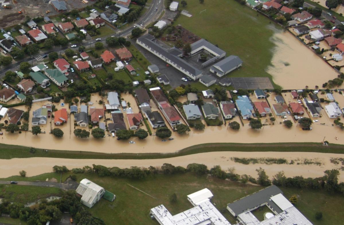
The most comprehensive flood mapping programme in Lower Hutt’s history is underway – but we need your help.
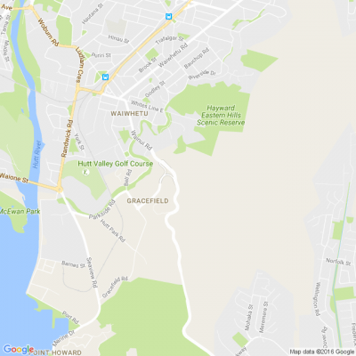
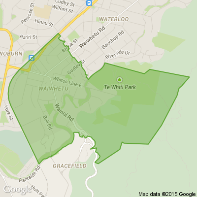
Draft maps of river and stormwater flood hazards have been prepared. Next week, we’ll start taking the maps to communities across the city, and we’d like people with memories or photos of past flood events to help us make the finished maps as accurate as possible.
So come along to our public information sessions and view the draft maps, learn more about natural hazards and help us to manage flood risk in our city. More information blow.
Neighbourhood Challenge: Who Can Crack This One? ⛓️💥❔
What has a head but no brain?
Do you think you know the answer? Simply 'Like' this post if you know the answer and the big reveal will be posted in the comments at 2pm on the day!
Want to stop seeing these in your newsfeed?
Head here and hover on the Following button on the top right of the page (and it will show Unfollow) and then click it. If it is giving you the option to Follow, then you've successfully unfollowed the Riddles page.

Poll: Would you participate in local initiatives aimed at stopping plastic from reaching our oceans?
Volunteers will be scouring the foreshore, riverbanks, and islands for rubbish on Saturday the 13th as part of the Clean Up the Hutt event.
This initiative helps stop plastic from reaching our oceans and makes our waterways cleaner and safer for everyone.
We want to know: Should this be rolled out across all coastal cities in Aotearoa? And more importantly… would you get involved? 💚
Want the details? The Post has you covered.

-
68% Yes!
-
15.5% Maybe ...
-
16.5% No.
 Loading…