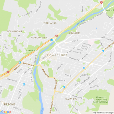
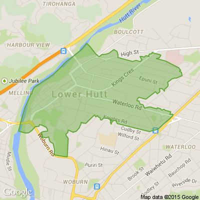

Mapping flood hazards in Lower Hutt
We’ll be at the Dowse tonight (6-8pm) and Naenae Library on Tuesday (3-5.20pm) to show you draft stormwater and river flood hazard maps of the cty.
If you have memories or photos of past flood events, we can use this information to ensure the finished flood maps are as accurate as possible. Information from the maps will be crucial for improving Lower Hutt’s resilience to future flooding.
Come along to our public information sessions and view the draft maps, learn more about natural hazards and help us to manage their impacts on our city. More information below.

Poll: Do you set New Year’s resolutions?
🎉 2026 is almost here!
We’re curious ... how do you welcome it?
Do you set resolutions, follow special traditions, or just go with the flow?

-
10.4% Yes! New Year, New Me
-
20.1% Yes - but I rarely stick to them
-
69.5% Nah - not for me
🎉The Riddler wants to hear from you 🫵
🧩 Got a riddle that can stump your Neighbourly community? Share your brain teasers with us and watch your neighbours scratch their heads 😕🤔❓
Send us your tricky puzzles!

Scam Alert: Fake information regarding December Bonuses from MSD
The Ministry of Social Development is reporting that fake information is circulating about new ‘December bonuses’ or ‘benefit increases’
If you get suspicious communication, please contact Netsafe.

 Loading…