Te Kowhai Airfield - OLS (Obstacle Limitation Surface Variation 1
Te Kowhai Airfield - OLS (Obstacle Limitation Surface Variation 1
At the meeting in the Te Kowhai hall on Saturday 18th July re the above there was some confusion on how the above was measured. Brian Palmer, Chair of the Community Group established the following information from the District Council and used a couple of examples.
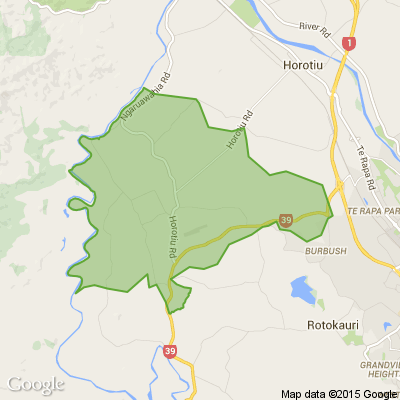
The TK airfield is at 26.6 m above sea level (or in technical terms the “Moturiki datum line”) and the maximum height of any obstacle within the OLS is 45m above that – i.e. 71.6m above sea level in total.
The 45 m restriction is in accordance with the Civil Aviation Authority Aerodrome design standards.
Also note the maximum rural zoning building height limit in the Waikato District is 10 metres - so in reality the 71.6m limitation only applies to trees (unless you're building on a hill over 61m above sea level).
A couple of examples...
1) If your home was at the same elevation as the Aerodrome (i.e. 26.6 metres above sea level) and you are within the re-notified area of variation 1 then your trees could grow to 45 metres above ground level on your property.
2) If you were located on higher ground for example that was 18.4 metres above the Aerodrome level (i.e. your land is 45 metres above sea level) then the maximum height of any obstacle on this property would be 26.6 metres.
The calculation above is 26.6 m (Aerodrome) + 45.0 m max obstacle limit is 71.6 m - 18.4 m (Property height above Aerodrome) is 26.6 m maximum obstacle height.
If you wish to know the height above sea level for your property the best place to check that is
waikatomaps.waikatoregion.govt.nz... - go to this web site and enter your address
If the proposed variation is agreed to, the District Council will be responsible for enforcing the restriction.
The Council staff member Brian liaised with emphasised that the impact of the OLS on those within 2000m of the airfield is unchanged through this variation.
The variation proposes to change the map which was incorrectly drawn at 2000m in 2018. The plan text in 2018 referred to 2500m but the map didn’t reflect this. The variation is also taking the opportunity to increase the clarity of the wording in Appendix 9 of the plan, which describes the OLS, but not change the intent of that appendix.
Neighbourhood Challenge: Who Can Crack This One? ⛓️💥❔
What has a head but no brain?
Do you think you know the answer? Simply 'Like' this post if you know the answer and the big reveal will be posted in the comments at 2pm on the day!
Want to stop seeing these in your newsfeed?
Head here and hover on the Following button on the top right of the page (and it will show Unfollow) and then click it. If it is giving you the option to Follow, then you've successfully unfollowed the Riddles page.

Leaving Neighbourly
Hey everyone, just a quick note to say I’m leaving Neighbourly. I joined because I thought it would be a good way to connect with people in the community, especially the older generation, and to receive advice, help, and shared knowledge.
Over time I’ve made quite a few posts genuinely looking for help or guidance, and unfortunately I’ve rarely received any responses. Most of the time it’s just one or two likes and no actual comments or help, which gets pretty discouraging after a while.
I understand people are busy, but when you consistently put things out there and hear almost nothing back, it starts to feel like there’s no real point in being part of the platform. Because of that, I’ve decided it’s best for me to move on.
No hard feelings — just not the right fit for me. Wishing everyone all the best.
Poll: Are Kiwis allergic to “exuberance”? 🥝
In The Post’s opinion piece on the developments set to open across Aotearoa in 2026, John Coop suggests that, as a nation, we’re “allergic to exuberance.”
We want to know: Are we really allergic to showing our excitement?
Is it time to lean into a more optimistic view of the place we call home? As big projects take shape and new opportunities emerge, perhaps it’s worth asking whether a little more confidence (and enthusiasm!) could do us some good.

-
41.3% Yes
-
33.9% Maybe?
-
24.8% No
 Loading…