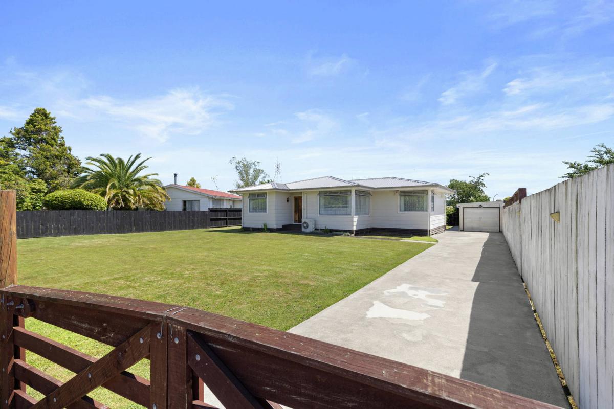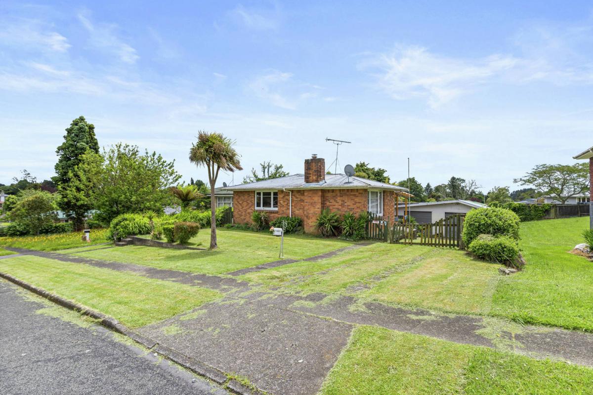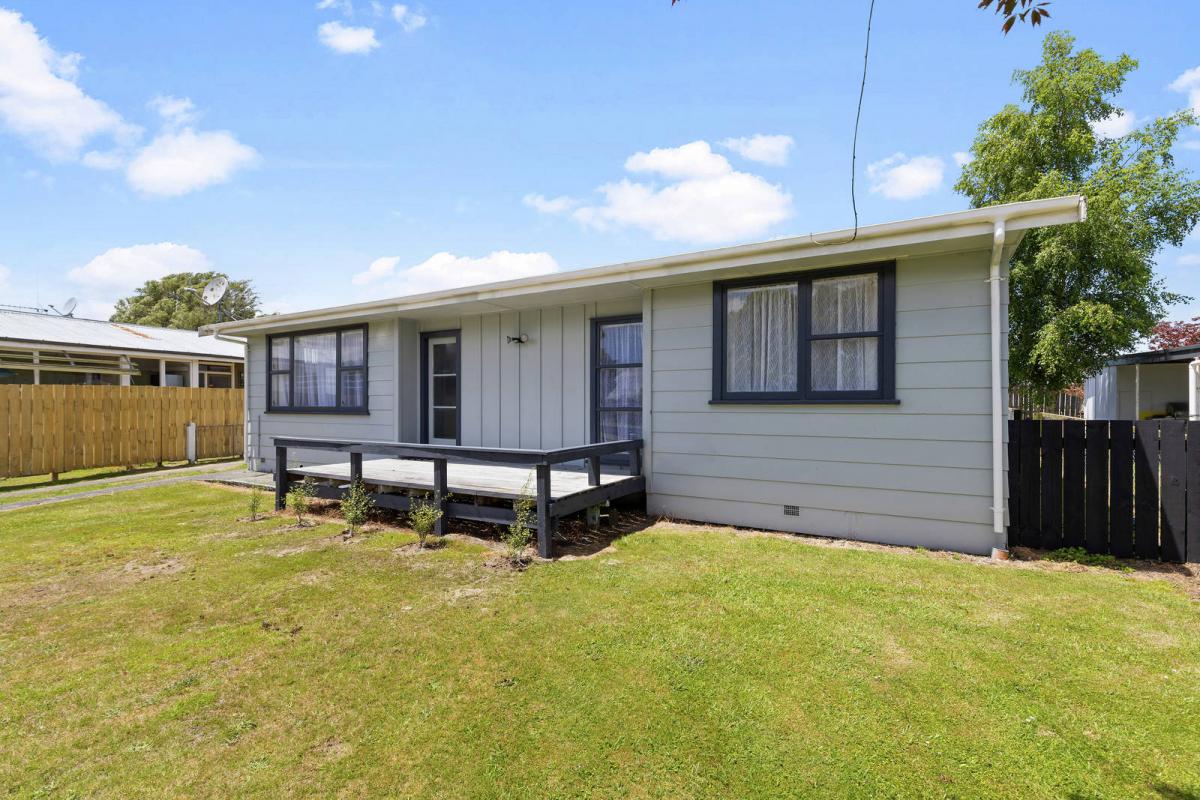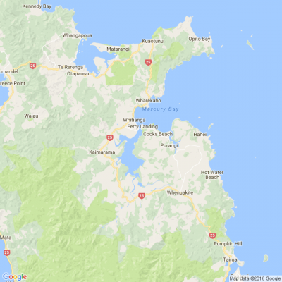
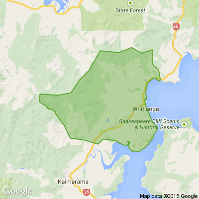
Northland maps coastal hazards - Thames Coromandel yet to start
Northland has just completed a major exercise to map coastal flooding and erosion areas along its 3200 km coastline with 13,500 potentially affected properties. The maps show estimated flood and erosion hazards, projected over 50 years and 100 years’ time, with conservatively predicted sea level rises of 0.4m over the next 50 years and 1m over the next 100 years.
teggtalk.wordpress.com...

Poll: Is it ok to regift something that you have been given?
🎁 Holiday Gift Chat!
Do you ever regift?
What’s your take on asking for a receipt if a gift doesn’t fit?

-
79.8% Yes! It's better to regift what I don't need
-
20.2% No. It's the thought and effort that matters
Scam Alert: Fake information regarding December Bonuses from MSD
The Ministry of Social Development is reporting that fake information is circulating about new ‘December bonuses’ or ‘benefit increases’
If you get suspicious communication, please contact Netsafe.

Today’s Mind-Bender is the Last of the Year! Can You Guess It Before Everyone Else? 🌟🎁🌲
I dance in the sky with green and gold, a spectacle few are lucky to behold; I’m best seen in the south, a celestial sight—what am I, lighting up the New Zealand night?
Do you think you know the answer? Simply 'Like' this post and we'll post the answer in the comments below at 2pm on the day!
Want to stop seeing these in your newsfeed? No worries! Simply head here and click once on the Following button.

 Loading…