

Are you in Northland's new flooding and erosion zones?
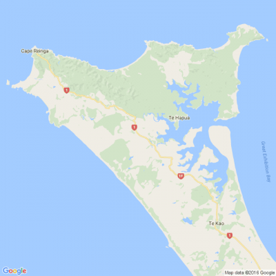
The Northland Regional Council has just released its updated coastal hazard maps, which identify sites at risk of flooding or erosion over the next 50 to 100 years, especially if rapid sea level rise occurs. Newly mapped communities include Mangawhai, Whatawhiwhi and Kaimaumau. Are you impacted? What do you think of the coastal hazard maps?
Poll: Do you set New Year’s resolutions?
🎉 2026 is almost here!
We’re curious ... how do you welcome it?
Do you set resolutions, follow special traditions, or just go with the flow?

-
10.3% Yes! New Year, New Me
-
20.1% Yes - but I rarely stick to them
-
69.6% Nah - not for me
🎉The Riddler wants to hear from you 🫵
🧩 Got a riddle that can stump your Neighbourly community? Share your brain teasers with us and watch your neighbours scratch their heads 😕🤔❓
Send us your tricky puzzles!

Scam Alert: Fake information regarding December Bonuses from MSD
The Ministry of Social Development is reporting that fake information is circulating about new ‘December bonuses’ or ‘benefit increases’
If you get suspicious communication, please contact Netsafe.

 Loading…