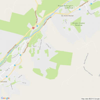
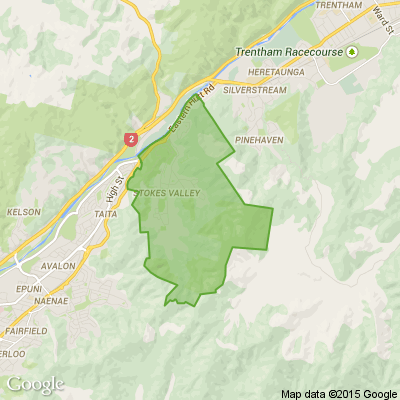

WE NEED YOUR HELP: IDENTIFYING FLOOD HAZARDS IN LOWER HUTT
Hutt City Council, Greater Wellington Regional Council and Wellington Water are working on two projects that make up the most comprehensive flood mapping exercise in the city’s history.
The latest computer modelling techniques have been used to develop
draft flood hazard maps that depict stormwater and river flooding.
Now we need you to help finish the job. To make sure the finished
maps are as accurate as possible, we’d like you to tell us about flooding
events in your neighbourhoods and show us any photos you’ve got.
For further information on this project, go to: hutt.city/floodhazards
We’d also like your thoughts on other natural hazards like earthquakes, slips and erosion, and their impacts on our city.
We need this information as we prepare to draft a new district plan – the rule book for land use and development in Lower Hutt. And lastly, as part of the district plan review, we’d like to talk to you about residential development in the city, particularly your thoughts on what is a reasonable distance for people to walk from higher-density residential housing to train stations, shops and other facilities.

Create a Stunning Stain Feature Wall with Resene Colorwood
Transform your living room into a work of art with Resene Colorwood wood stains. Find out how to create your own stain feature wall with these easy step by step instructions.

Poll: Is it ok to regift something that you have been given?
🎁 Holiday Gift Chat!
Do you ever regift?
What’s your take on asking for a receipt if a gift doesn’t fit?

-
79.7% Yes! It's better to regift what I don't need
-
20.3% No. It's the thought and effort that matters
Scam Alert: Fake information regarding December Bonuses from MSD
The Ministry of Social Development is reporting that fake information is circulating about new ‘December bonuses’ or ‘benefit increases’
If you get suspicious communication, please contact Netsafe.

 Loading…