
Flood maps for Wainuiomata
Wainuiomata residents could soon have flood information recorded on their Land Information Memorandum (LIM) reports.
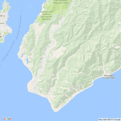
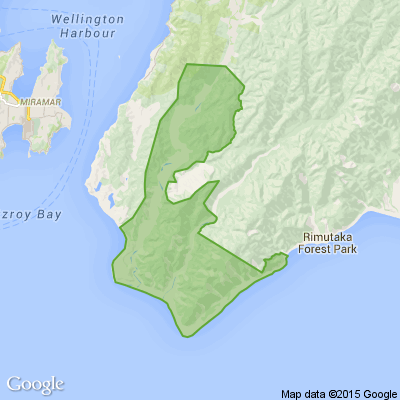
Wellington Water is about to produce maps to identify flood prone areas across the entire city of Lower Hutt. Wainuiomata is the first part of the city to be completed.
The flood maps use computer modelling to depict what areas are affected by heavy rainfall draining from the hills into urban areas, from roofs, roads, footpaths and the water's overland paths to drains, streams and rivers.

Today’s Mind-Bender is the Last of the Year! Can You Guess It Before Everyone Else? 🌟🎁🌲
I dance in the sky with green and gold, a spectacle few are lucky to behold; I’m best seen in the south, a celestial sight—what am I, lighting up the New Zealand night?
Do you think you know the answer? Simply 'Like' this post and we'll post the answer in the comments below at 2pm on the day!
Want to stop seeing these in your newsfeed? No worries! Simply head here and click once on the Following button.

Poll: Do you set New Year’s resolutions?
🎉 2026 is almost here!
We’re curious ... how do you welcome it?
Do you set resolutions, follow special traditions, or just go with the flow?

-
9.8% Yes! New Year, New Me
-
21.8% Yes - but I rarely stick to them
-
68.4% Nah - not for me
Poll: Is it ok to regift something that you have been given?
🎁 Holiday Gift Chat!
Do you ever regift?
What’s your take on asking for a receipt if a gift doesn’t fit?

-
78.8% Yes! It's better to regift what I don't need
-
21.2% No. It's the thought and effort that matters
 Loading…