
Severe weather warning - a windy end to the school holidays
A deep low is expected to move east across central New Zealand overnight Thursday. Strong cold southerlies in the wake of this low are likely to bring snow to low levels over many South Island areas and severe southerly gales to parts of central New Zealand and also Taranaki during Friday. A severe gale warning is now in force for exposed parts of Marlborough, Wellington and Taranaki.
Strong wind gusts could damage trees, powerlines and unsecured structures. Driving may be hazardous, especially for high-sided vehicles and motorcycles.
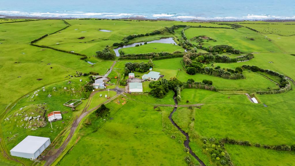
Area: Taranaki
Valid: 8 hours from 5:00pm Friday to 1:00am Saturday
Forecast: Southeasterly gales, severe gusting 120 km/h in exposed places, especially about and north of Mt Taranaki.

Poll: Is it ok to regift something that you have been given?
🎁 Holiday Gift Chat!
Do you ever regift?
What’s your take on asking for a receipt if a gift doesn’t fit?

-
79.1% Yes! It's better to regift what I don't need
-
20.9% No. It's the thought and effort that matters
Today’s Mind-Bender is the Last of the Year! Can You Guess It Before Everyone Else? 🌟🎁🌲
I dance in the sky with green and gold, a spectacle few are lucky to behold; I’m best seen in the south, a celestial sight—what am I, lighting up the New Zealand night?
Do you think you know the answer? Simply 'Like' this post and we'll post the answer in the comments below at 2pm on the day!
Want to stop seeing these in your newsfeed? No worries! Simply head here and click once on the Following button.

No gift? No stress
Let the Christmas elves at Mags4gifts.co.nz handle your last-minute shopping. For a limited time, gift a subscription with up to 40% off best-sellers like TV Guide, NZ House & Garden, and NZ Gardener. It’s the perfect Christmas present, sorted in minutes (and no one needs to know it was a last-minute surprise)!

 Loading…